 Cyprus Weather
Measured, not modelled
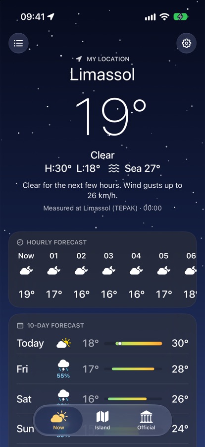
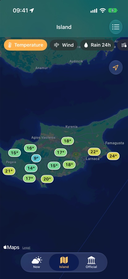
The temperature at the top is what the nearest of 50+ Department of Meteorology stations measures right now, updated every 10 minutes. Global apps show a model estimate for a grid square.
The island at a glance
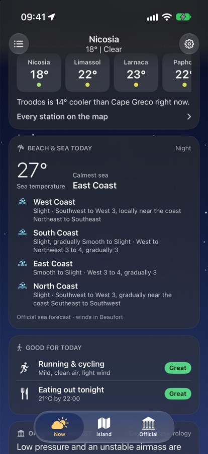
Nicosia, Limassol, Larnaca, Paphos, Cape Greco, Polis and Troodos live — coast and mountains differ by 10–15° most days. Every station on a live map.
Beach & sea, coast by coast
The official sea forecast with sea temperature, wind in Beaufort and sea state for the west, south, east and north coasts, and which coast is calmest today.
Official warnings, in time
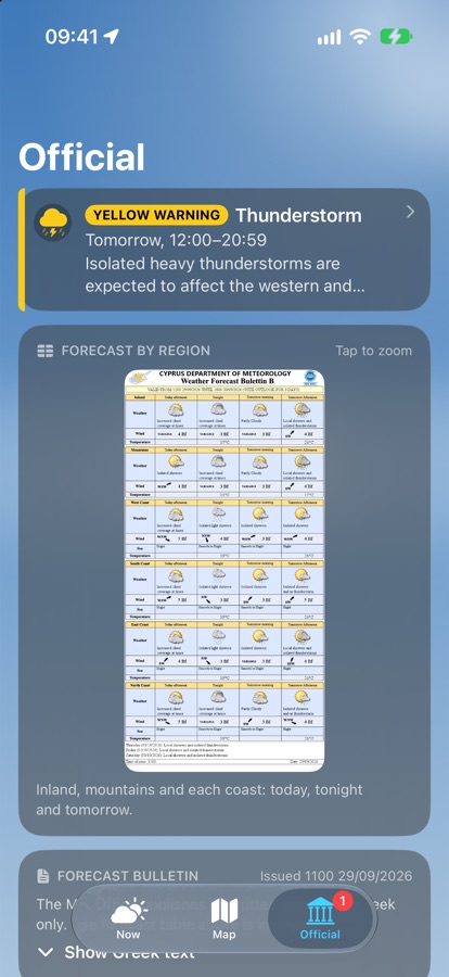
Yellow, orange and red warnings from the Met Office the moment they are issued, with plain advice on what to do.
Dust, heat and snow
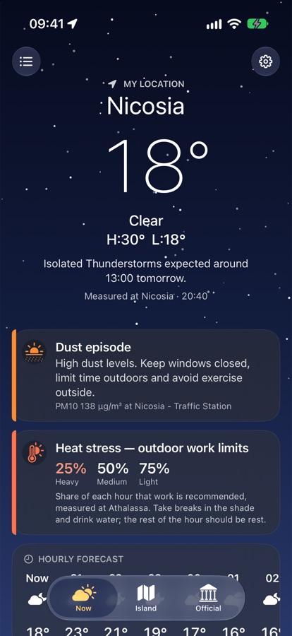
A clear banner when Saharan dust arrives, the Met Office heat-stress limits for outdoor work in summer, and Troodos snow depth in winter.
Made for visitors too
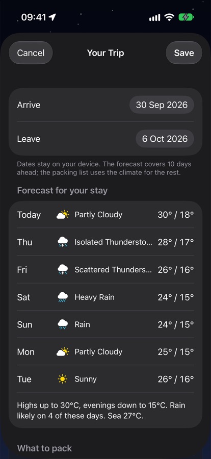
Add your dates for the forecast during your stay, typical weather for your month, the sea temperature and what to pack.
Why not just Apple Weather or Google?
They estimate. We measure.
Global apps interpolate a model for a grid square. Cyprus Weather starts from the reading of the nearest official station — the same network the Met Office uses — and adds the Apple Weather forecast for the hours ahead.
They stop at the coastline.
The sea forecast, sea temperature, which coast is calm, Saharan dust, heat-stress limits and Troodos snow exist only here.
They don't know the island.
Coast, inland and mountains 30 minutes apart can differ by 15°. Cyprus Weather shows them side by side and picks the nearest station wherever you are.
They stay quiet.
Official yellow, orange and red warnings arrive as notifications the moment the Met Office issues them, with what to do — in English or Greek.